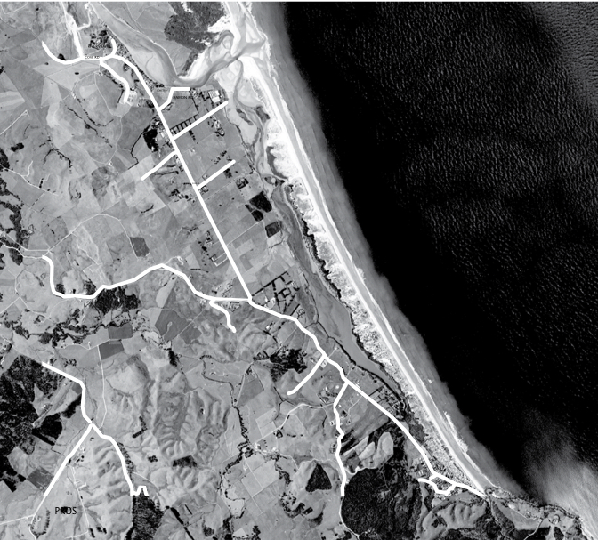
A walking and cycling track for Waipu
A group of Waipu Primary School children laid the seed for this project by writing submissions to the Whangarei District Council asking for a safe route to ride their bikes. A plan was developed to build a safe and accessible cycle and walkway all the way from Waipu Village to Waipu Cove (almost 10km).
The Waipu Cycle and Walkway Trust was formed to see this project through with support from Whangarei District Council. A Council funded report by Frame Group Consultants (2012) estimated the total cost of the trail at just over $1m. To get the project underway the Trust decided to build the first section from Waipu Village to Riverview Place (2.5km). This was achieved because of the generous gift of an easement over land owned by Don and Melanie Mitchell, and a boundary adjustment over the carpark at Northland Steel Products. In August 2016 we were proud to open this first section which includes a 34m pedestrian Bridge over the Waionehu Stream. Stage 2 from Waipu Cove to Cullen Rd was constructed in Spring 2019 with funds remaining from stage 1. While initially the route for this second stage was to follow the seaward side of Cove Rd all the way to Estuary View Heights we were unable to secure an easement over a key property on the route. Reluctantly we had to make the tough decision to cross the road and continue on the inland side of Cove Rd to Cullen. This cross was also advised and supported by Council to enable progress on the trail and to achieve as safe a route as possible. We had funding on hand thanks to our wonderful fundraising team to largely progress construction of stage 2. To link the two ends of the trail there will need to be further discussion and consultation with landowners and Council with pros and cons of several different route options. Route options to link the trailThere are several route options that were originally considered for the section of trail from Riverview Place to Waipu Cove. These include down either side of Cove Rd, and/or down the River and Estuary edge. Each route has its pros and cons. The route options are shown on the maps.
Pros and ConsThere are pros and cons for each route option. Much of the land on the edge of the river and estuary is public land and can be used for public access such as a walkway and cycleway. However there are a number of reasons including the wildlife refuge and rare bird nesting grounds to consider a number of different options.
ConsultationWe won't be rushing stage 3 to link the two ends and further consultation will occur with landowners, Council and the community.
How will we decideWe want all road and trail users to be safe, and the impact on property owners and the environment including the wildlife refuge considered properly. A final decision on the middle section of the trail is likely to need more detailed reports, and some preliminary designwork and costings.
|